About the West Side Property Inventory
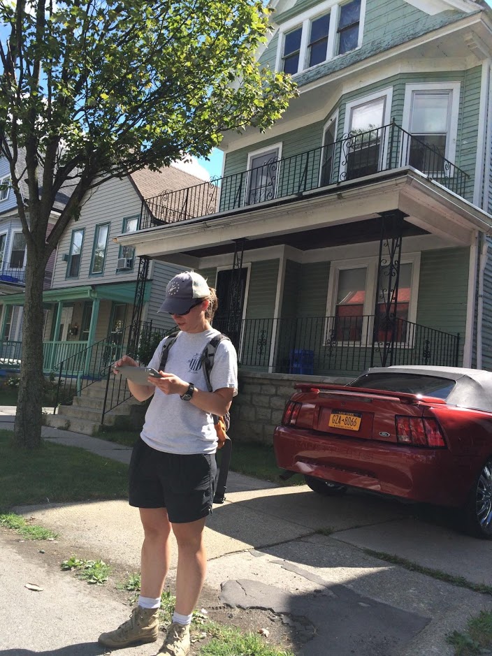
Beginning in May 2015, a team from SUNY Buffalo State's Geography and Planning Department conducted a property condition inventory for a portion of Buffalo's West Side neighborhood. Property information was recorded in the field using tablets with the Collector for ArcGIS mobile app. A photograph was also captured for each property to serve as a visual record of each property's current state.
The purpose of the West Side Property Inventory is to create a parcel-level database of property conditions for Buffalo’s West Side neighborhood to serve two key needs:
- Collect baseline data for research and analysis of housing conditions and neighborhood change, and
- Share information with the community to address problems related to living conditions, blight, and other issues of public concern.
The field-collected data represent a snapshot of housing conditions, and this baseline data will be combined with demographic and other secondary source data to present a detailed picture of the current housing situation in the neighborhood. The inventory also provides an empirical basis upon which community groups and residents may better understand changes occuring in Buffalo's diverse West Side.
The Story Map presents context for the project, current demographic and socioeconomic conditions for the West Side, and selected results from the inventory in a series of interactive maps. The Story Map is a good place to start to learn more about Buffalo's West Side and the context for the project.
The full inventory data may be viewed in the Interactive Map. We are working to add more data and user-friendly functionality to the map, and we welcome your comments and suggestions.